

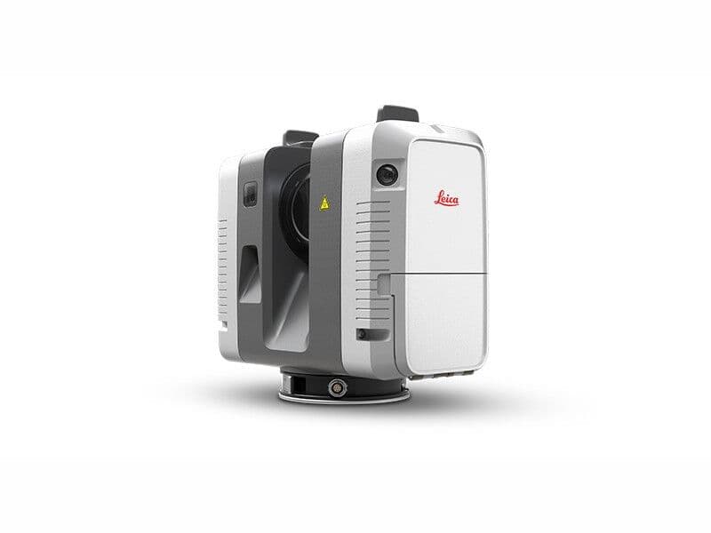
Leica Geosystems RTC 360 3D Laser Scanner
The Leica RTC360 laser scanner makes capturing reality in 3D faster than ever before. With its 2 million points per second measurement and advanced HDR imaging system, the creation of 3D point clouds can be completed in less than 2 minutes. In addition, automatic targetless field recording (based on VIS technology) and automated data transfer to the office further maximises productivity by minimising survey time. Reduced data 'noise' results in sharper, high-quality scans, rich in detail and
0
0