Строительные материалыNOVATEST#NOVATEST#Monitoring & Data Acquisition, Rocks & Underground, Georadar#Instruments for topographic and geodetic surveys#Construction#Instruments for surveying and measuring
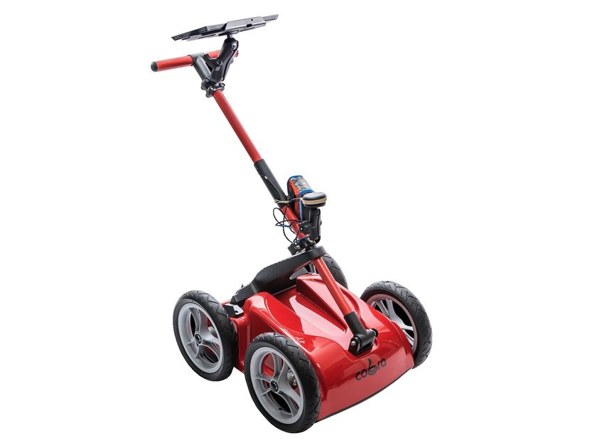
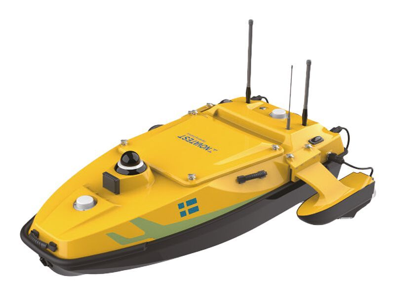
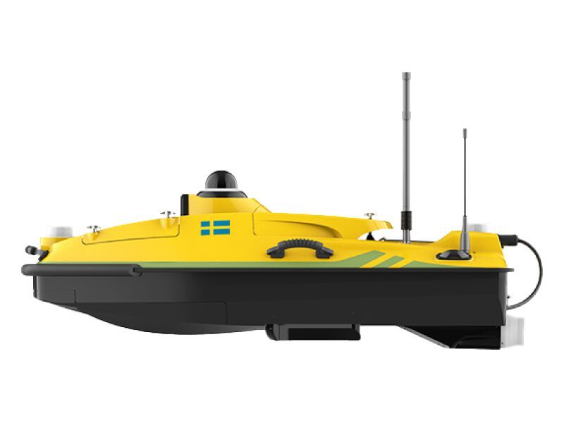
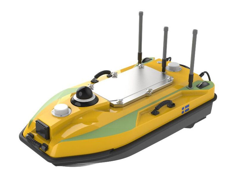
NOVAdrone P800 GPR COBRA
GPR HF/LF antennas for “Air Coupled” drone surveys.
In many cases, GPR surveys can be complex both logistically and in terms of personnel safety due to topographical environments and adverse weather conditions. The drone or rover integrations proposed by Novatest represent a valid alternative to traditional methods, offering a range of advantages in terms of efficiency and competitiveness of the service provided.
The NOVAdrone P800 system with integrated GPR, compared to a manned aircraft or helicopter, not only makes the work safer and more efficient but also brings significant benefits in terms of programmed autonomous low-altitude flights with high precision thanks to the "Terrain Follow" system. A GPR mounted on a drone allows surveys on land, ice, rocks, freshwater, or structures in critical environments without compromising personnel safety, providing an alternative solution for more efficient surveys.
Applications:
Surveys on rough terrain
Geotechnical surveys for soil level analysis
Archaeological surveys for mapping underground infrastructures
Subservice mapping (e.g., gas pipelines, large water pipes, etc.)
Location of unexploded ordnance
Crevasse identification
Glacier surveys
Bathymetric surveys in freshwater. Thanks to the possibility of associating different types of GPR antennas with the drone, it is possible to achieve both high-resolution detailed analyses and deep geological surveys.
Further info from manufacturer on NOVAdrone P800 GPR COBRA NOVATEST
5
0