

Строительные материалыStonex#Stonex#Laser Scanners#3d scanners#Construction#Instruments for surveying and measuring
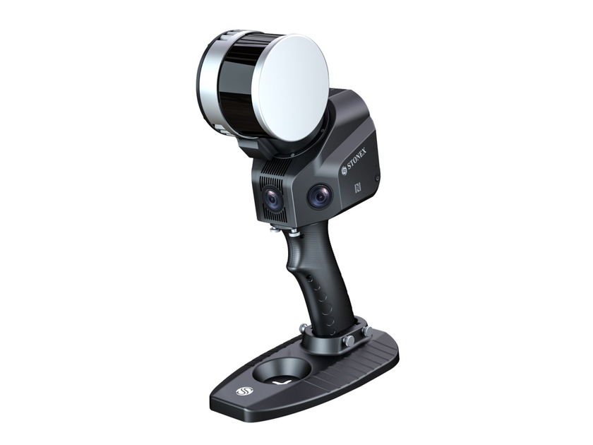
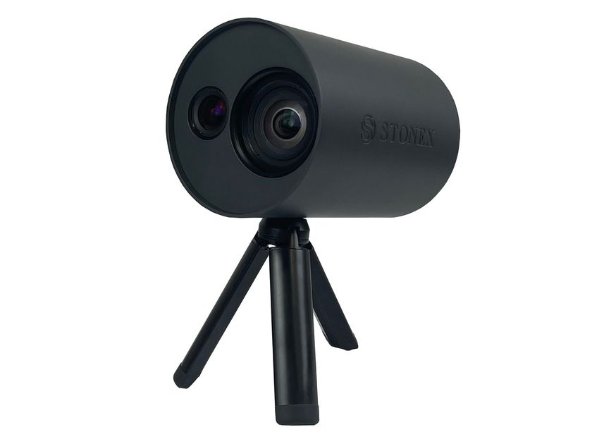
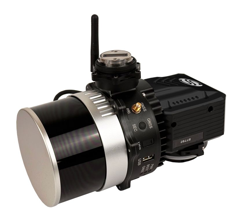
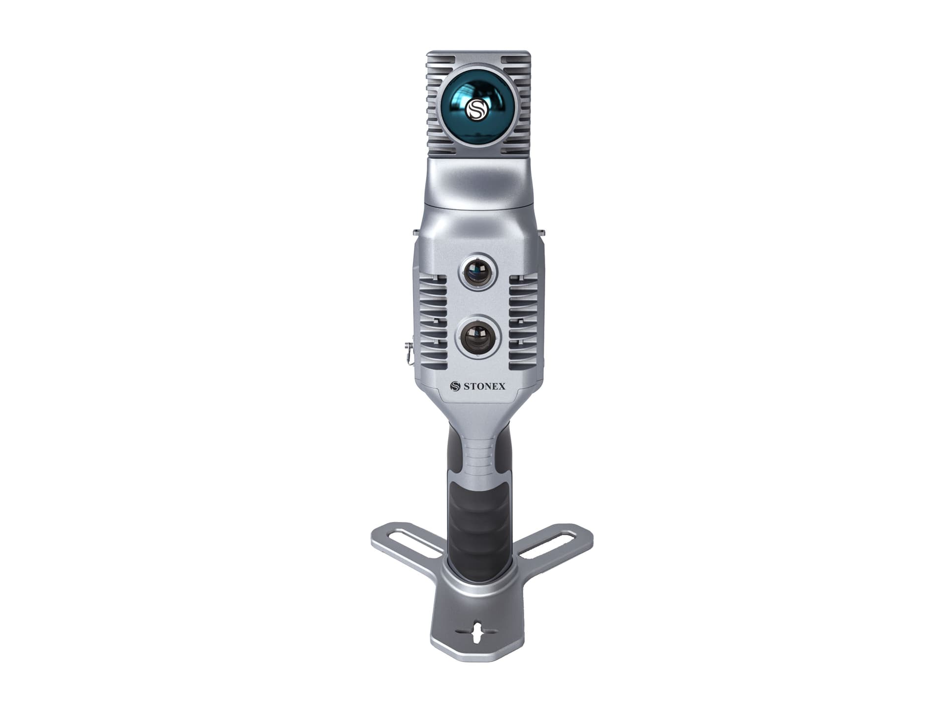
Stonex X70GO SLAM - 3D сканер
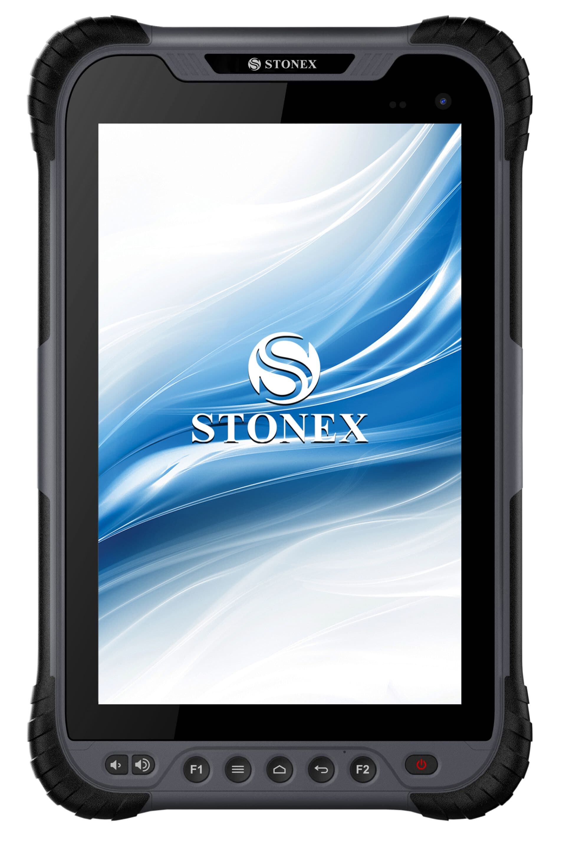
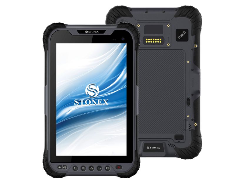
X70GO is a real-time 3D model reconstruction device that integrates an inertial navigation module, a storage and computing system. It features a 360° rotating head which, combined with the SLAM algorithm, generates high-precision point cloud data. A 12 MP RGB camera provides color to the model, while a SLAM visual camera provides real-time preview with GOapp. The mapping results are generated immediately within the scanner, immediately after scanning: you can choose whether to color them and improve their accuracy by carrying out post-processing with the GOpost software.
X-WHIZZ FUNCTION
X70GO combines dynamic and static detection.
The advantages of the SLAM mode which allows you to detect large areas in a short time are combined with the static mode to obtain more precise scans. The presence of this function is the perfect compromise for those who need speed and more details in a mobile survey.
REAL TIME RESULTS
The data collected by the camera makes the SLAM algorithm more stable, especially in environments with complex structures. The data is ready to be used as soon as the survey is completed.
SPEED AND REDUCTION OF THE WORKLOAD
It is no longer necessary to use multiple scanning stations, just move around the scene to collect the entire 3D point cloud, without having to carry out laborious alignments between the clouds.
AUTOMATIC CONTROL POINT MEASUREMENT
During data acquisition, X70GO is able to also collect control points. These can be matched to known points to georeference the scans.
HIGH PERFORMANCE PROCESSING
The system can directly generate mapping results after completing the acquisition. You can choose to post-process the data if you need greater accuracy.
Further info from manufacturer on X70GO SLAM Stonex
0
0