Строительные материалыStonex#Stonex#Laser Scanners#3d scanners#Construction#Instruments for surveying and measuring
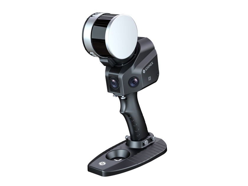
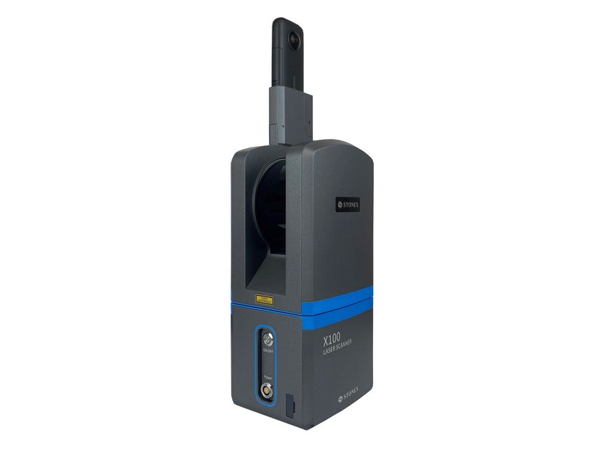
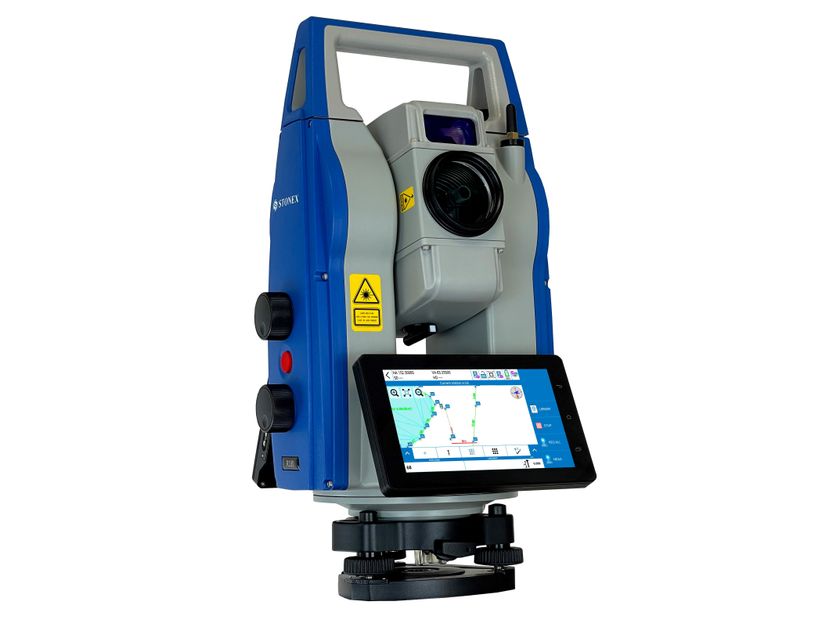
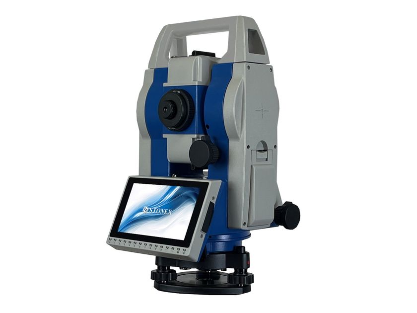
Stonex - 3D сканер
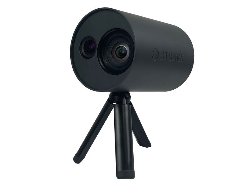
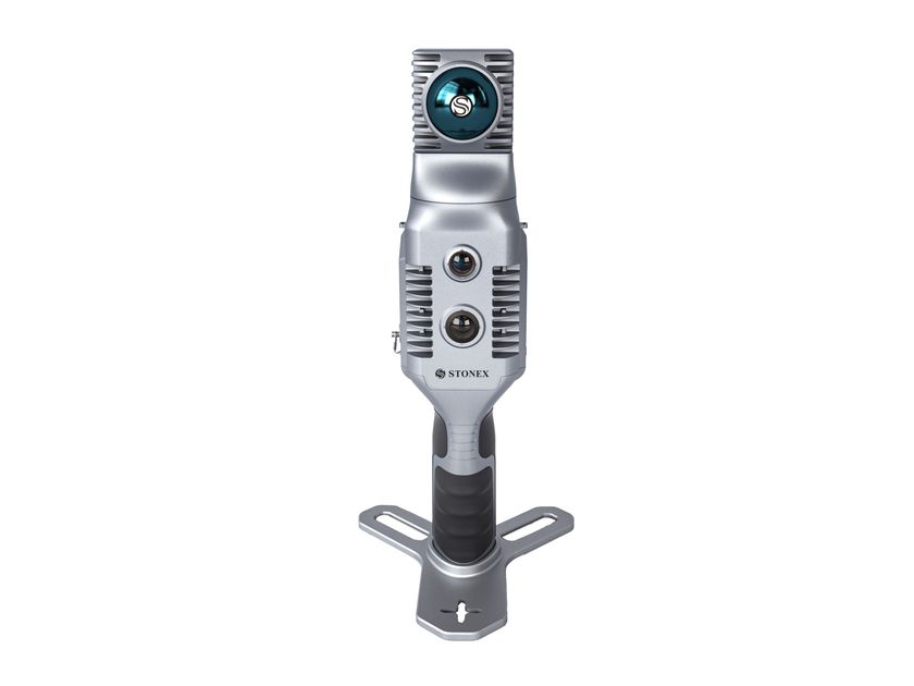
The XFLY series integrates a high-performance Inertial Navigation System (INS) with camera and LiDAR to create point clouds. You can meet customer needs by choosing a range of 120 or 300 meters, 2 or 3 echoes or other sensors.
The computing platform includes a Wi-Fi interface, a built-in cellular modem for RTCM corrections, data logging software, and a gigabit Ethernet network. Equipped with a high-performance INS, it provides clean point clouds even at high altitudes. Being a small, light and low-power system, it allows the user to fly longer, adapting to the needs of any project.
FLIGHT ALTITUDE 200m
Fly up to 200 meters above the ground.
ACCURACY
Thanks to the high performance of GPS-assisted INS, a point cloud accuracy of up to 3-5 cm can be achieved.
CAMERA
The 24 MP camera adds color to the data. The camera is delivered to the customer already calibrated and with these correction values already saved on the device.
FLY & DRIVE
Various mounts are offered to support mounting on popular UAV vehicles and other platforms, such as automobiles.
Compatible aircraft include: DJI M210 - M300 - M350 - M600, Inspired Flight IF1200 Hexacopter, Freefly Alta X, Freefly Astro, WISPR Ranger Pro 1100, Sony Airpeak S1.
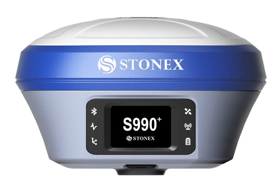
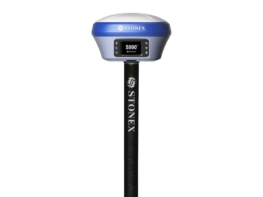
PPK/RTK Dual/Single GNSS
Depending on your customer's application, you can choose whether you want a single or dual frequency GNSS antenna. For those who want to avoid post-processing, the RTK solution is also available.
Further info from manufacturer on XFLY LIDAR SOLUTION Stonex
0
0