
Строительные материалыStonex#Stonex#Laser Scanners#3d scanners#Construction#Instruments for surveying and measuring
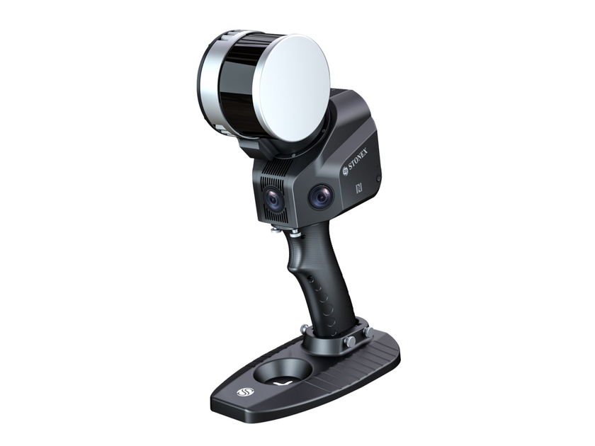
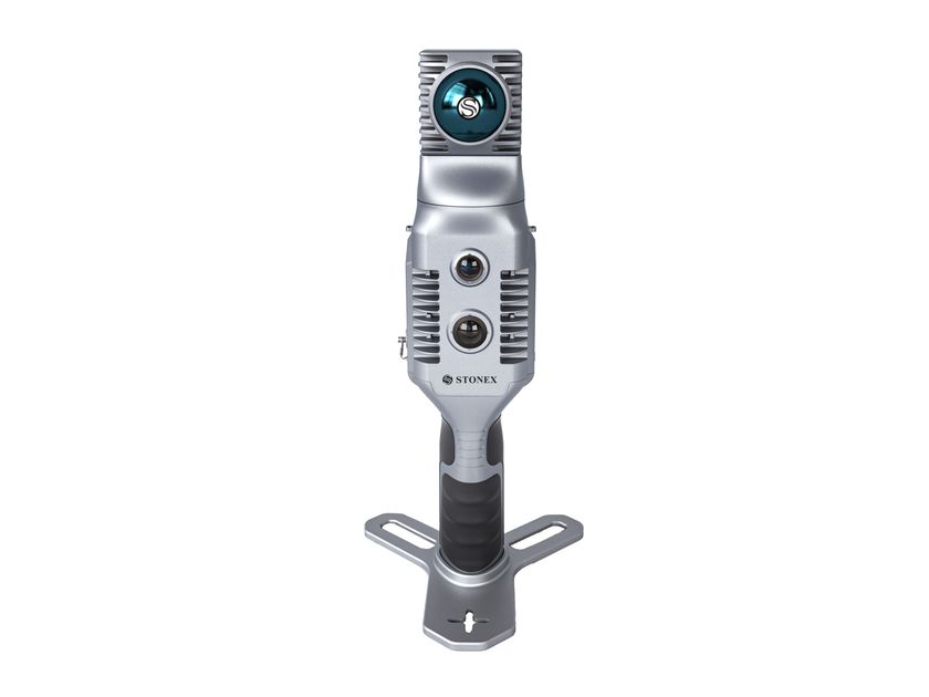
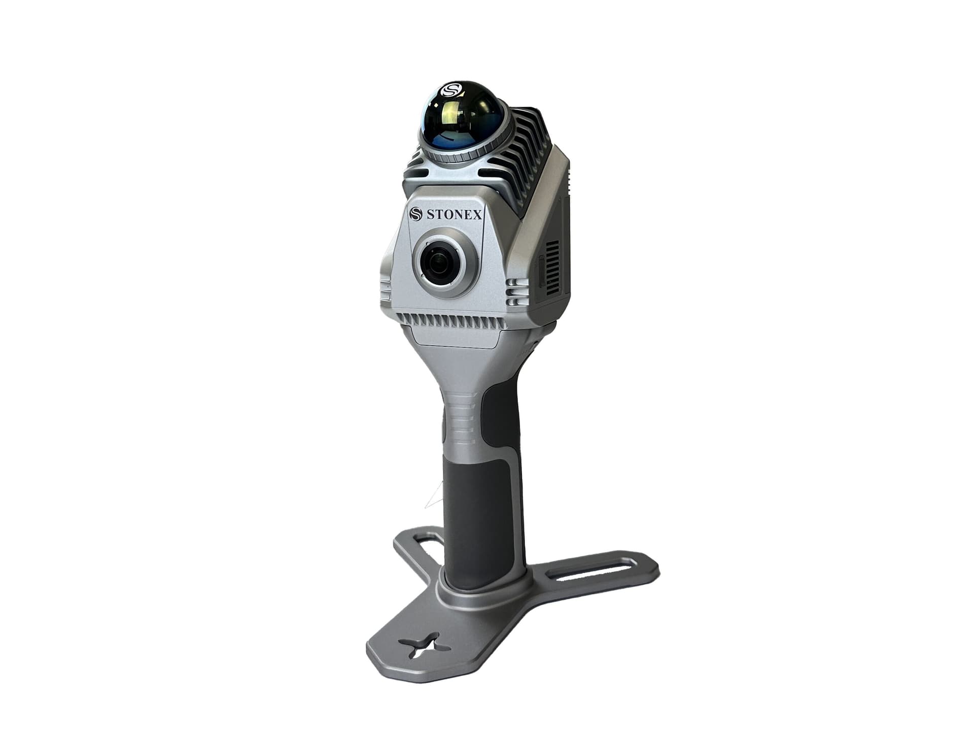
Stonex X40GO SLAM - 3D сканер
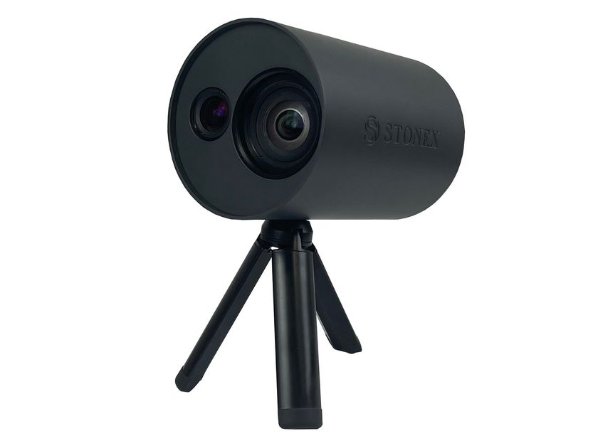
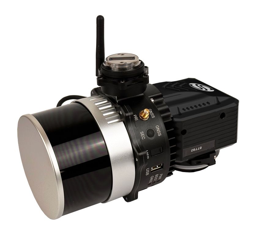
X40GO is a compact system that provides high-precision point cloud data, based on SLAM technology. The 70-meter range LiDAR orientation is designed to maximize coverage, while a 12-megapixel camera provides texture information to the 3D model.
A simple and economical solution, the idea for interior surveys and layout creation.
DEDICATED SOFTWARE
GOapp
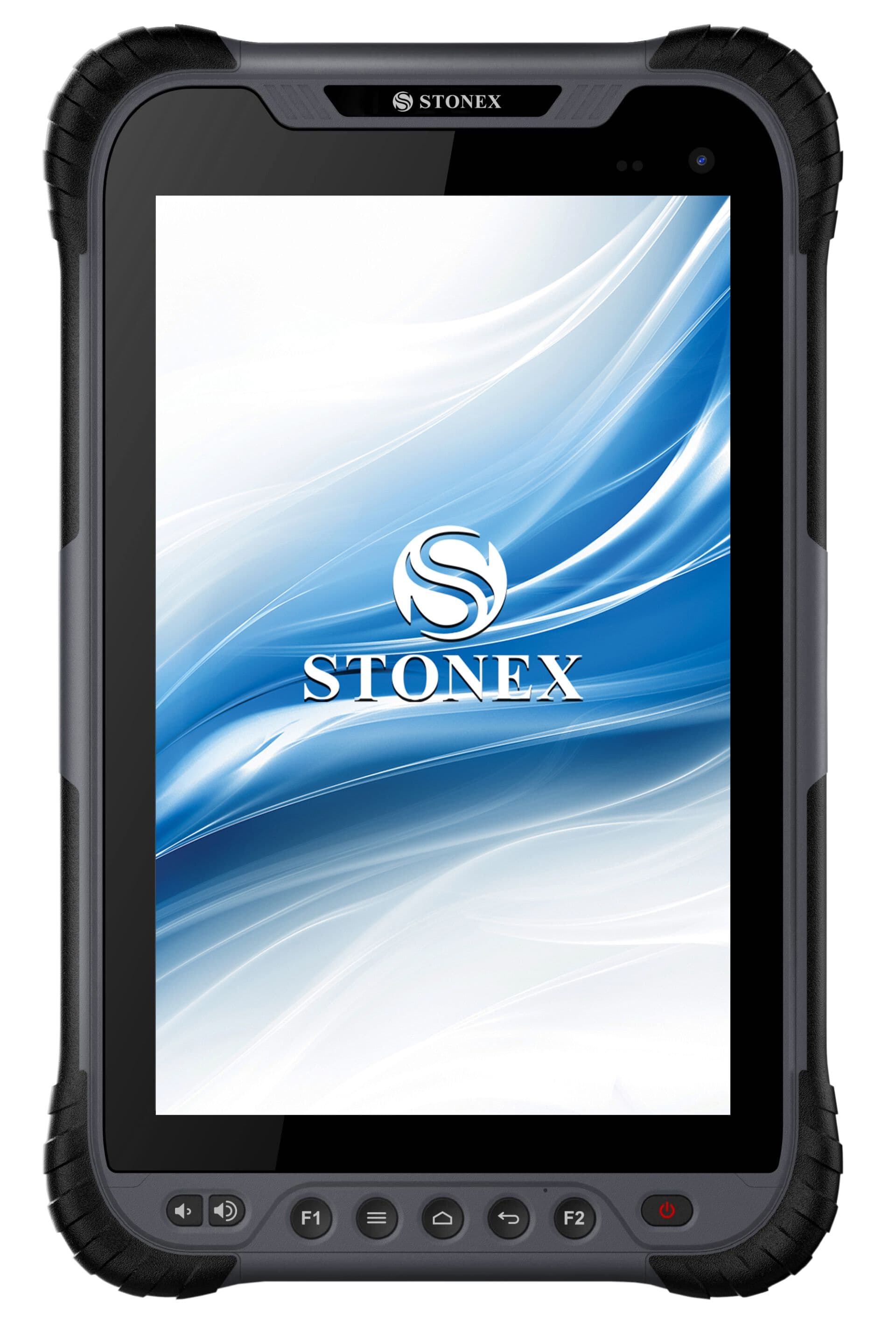
GOapp is the mobile application dedicated to Stonex SLAMs to manage projects, view real-time point clouds, preview images, update firmware and other operations. The APP works on Android and iOS operating systems.
GOpost
Post-processing software for Windows that performs optimization, point cloud coloring, filtering and noise removal. It is also possible to import control points to georeference the point cloud.
GEOTAG COLLECTION
Directly in the field you have the possibility to take pictures or add notes related to your position. This information will be available and consultable within the point cloud
SPEED AND REDUCED WORKLOAD
It is no longer necessary to use multiple scanning stations, just move around the scene to collect the entire 3D point cloud, without having to perform laborious alignments between the clouds.
REAL-TIME PREVIEW
Watch the scanning progress in real time using the dedicated GOapp application.
AUTOMATIC MEASUREMENT OF CONTROL POINTS
During data acquisition, X40GO is also able to collect reference points. They can be combined with known control points to georeference the scans.
RGB CAMERA
A 12 MP RGB camera provides texture information
HIGH-PERFORMANCE PROCESSING
Data processing can be done in a few clicks, obtaining the best result for the situation, even when processing batches of scans.
Further info from manufacturer on X40GO SLAM Stonex
0
0