Управление строительствомAnalist Group#Analist Group#Software#Surveys, photogrammetry#Architectural surveys#Construction
Analist Group
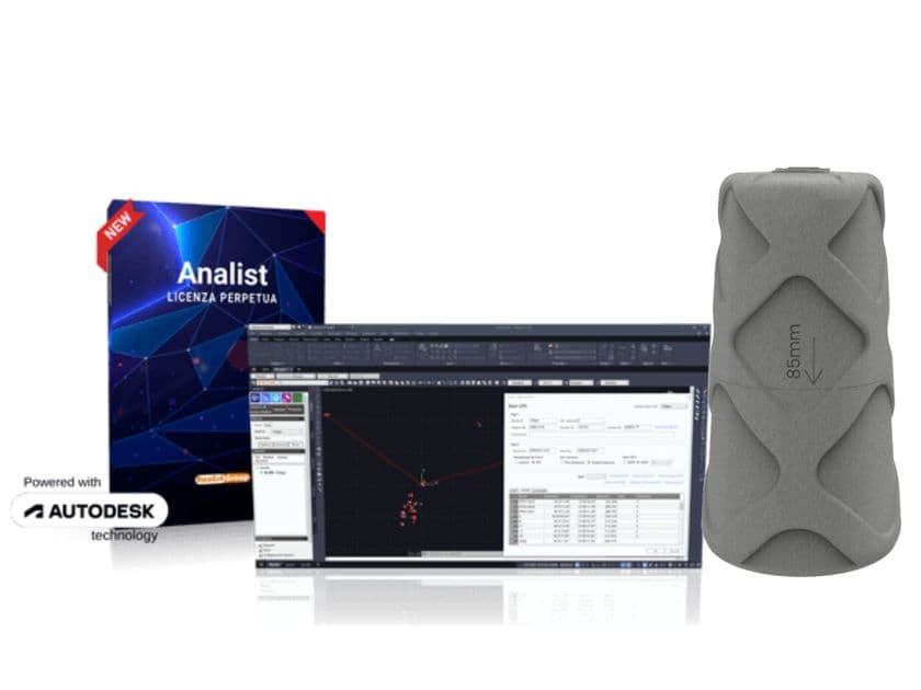
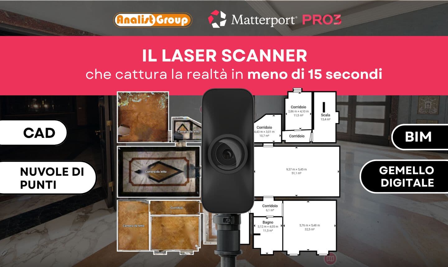
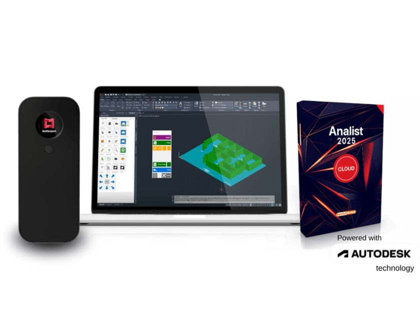
Analist is a surveying software powered by Autodesk Technology. It imports data acquired from any type of instrument (Laser Scanner, GPS, Drone, Total Station) and allows for processing of Profiles, Cross-sections, Contour Lines, and highly precise and accurate Orthophotos.
Analist offers professionals maximum productivity and innovation across all surveying sectors and types. Here are all its features for every focus:
Topography and Architectural Surveying: Automatic drawing of longitudinal terrain profiles and development of cross-sectional sections, processing of contour lines, profiles, sections, surfaces, volume calculations, point cloud management, triangulation functions, importation of surfaces from Google Maps and Bing Maps.
Thermography: With the InfraPro module compliant with IECTS62446 standards, detailed thermographic reports and analysis for drone orthophotos are possible for identifying critical areas, ideal for detecting hotspots on photovoltaic panels.
Precision Agriculture: The AnalistAgro module allows real-time calculation and analysis of NDVI and other indices to assess crop health, enabling agronomists to make timely and accurate decisions to improve productivity and sustainability. It also allows for direct transfer of Prescription Maps to your smartphone.
Cadastre: Complete management of cadastral records, advanced search and visualization functions on Google Maps of fiduciary points, importation of cadastral maps, and ease in updating Pregeo.
Road Incident Surveying: By using drones or laser scanners to acquire the incident location, Analist enables all necessary measurements to be taken from any angle with absolute precision. The 2025 version of the Architectural Surveying Software introduces new functionalities that further enhance workflow productivity, especially with the launch of the new Analist Plus module.
Sharing Survey Data on Smartphones: With Analist Plus, you can share data from your drone, GPS survey, and laser scanner survey with your work team.
Optimized Point Cloud Management: Importation of point clouds with Lidar classification thanks to the Analist Plus module; New surface extraction considering Lidar classification of the point cloud. It extracts only the selected data, with the ability to remove, for example, vegetation or elements not classified as terrain.
Enhanced Surface Management: More precise and faster triangulation, new function to puncture the surface and triangulate holes on separate models with the Analist Plus module.
Simplified DSM/DTM Management: Cutting of DSM via KML and surface extraction with the Analist Plus module.
Innovative Functions for Precision Agriculture: With Analist Plus, there's a function for computing biomass or color spectrum from a photo or orthophoto.
0
0