Управление строительствомAnalist Group#Analist Group#Software#Surveys, photogrammetry#Architectural surveys#3d scanners
Analist Group MATTERPORT PRO3
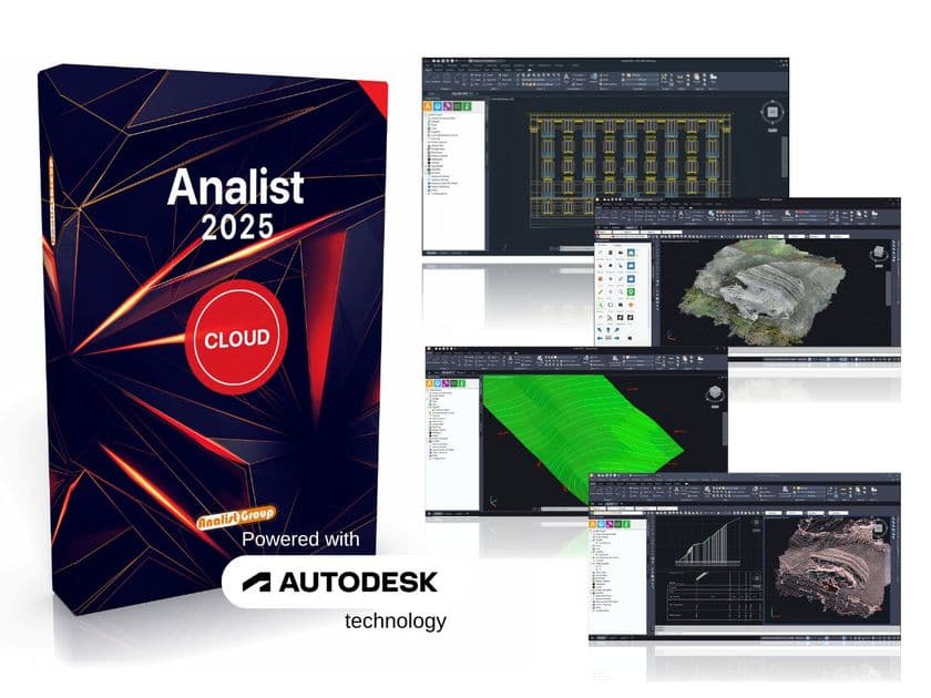
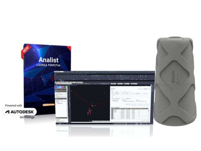
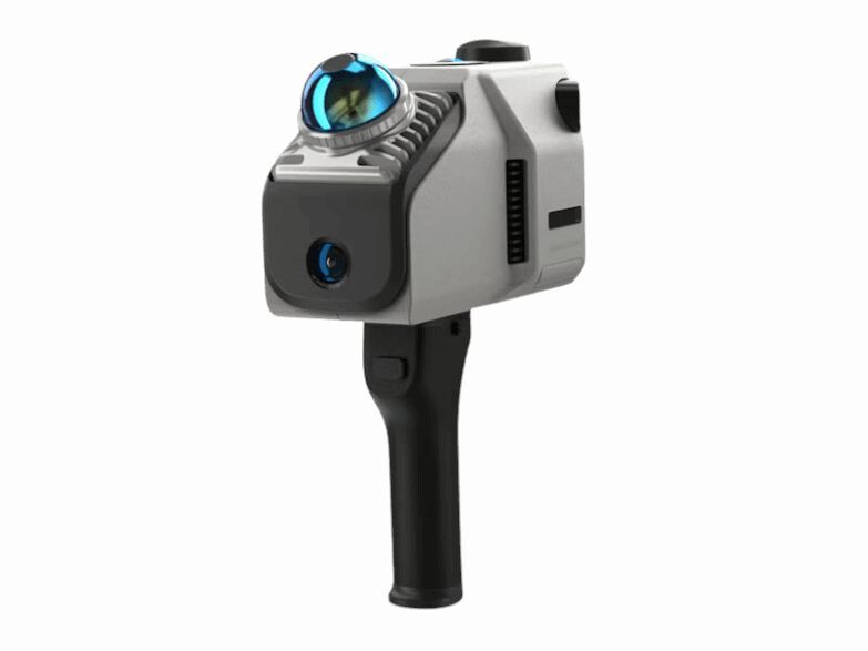
Matterport Pro3 is the most cost-effective and high-performance indoor and outdoor laser scanner on the market: it can quickly acquire large outdoor and indoor spaces even in weak or strong sunlight and automatically return the technical data. The Solution with Analist 2025, powered with Autodesk Technology, provides a natural and integrated workflow for drawing Profiles and Sections, producing Floor Plans and creating Digital Terrain Models. Matterport Technology processes the data acquired by the Pro3 Laser Scanner and automatically returns the data files required for the design phase, saving considerable time.
The data returned automatically by Matterport includes:
Digital Twin: realistically represents the as-is state of an area, is digitally navigable, measurable and can be supplemented with technical attachments, videos and photos. It eliminates the need for additional surveys and can be shared via a normal link.
Floor plans .png and .svg: the layout of the acquired space is automatically returned via .png and .svg files, with spaces already divided, labelled and containing the relevant measurements, offering all documentation ready for the project.
Point Clouds .xyz and E57: Matterport Technology provides point clouds of surveyed areas in .xyz and E57 (high point density) format to allow users to carry out detailed processing.
CAD files: CAD files of the survey processed according to the ISO 13567 standard are provided in .dwg format for AutoCAD 2020, suitable for spaces up to 11,610 m2.
BIM files: BIM LOD 200 files are provided in .rtv and .dwg format for interior, exterior and roof.
Analist, the Survey Software powered with Autodesk Technology, provides an integrated workflow for importing and processing the data files returned by Matterport. With Analist you can use files returned by Matterport to draw profiles and sections, create plans and digital terrain models, and georeference point clouds.
0
0