Управление строительствомAnalist Group#Analist Group#Software#Topography, roads and gis#Topographic, land registry, land modelling surveys#Construction
ROVER GNSS PROTRACK
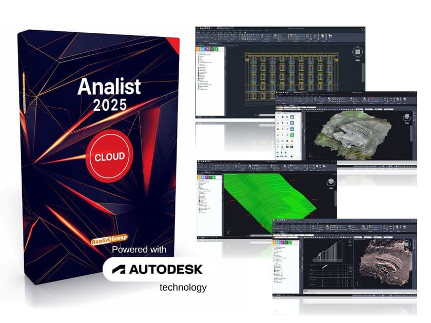
ProTrack is the GNSS Rover designed and entirely produced by Analist Group. It is user-friendly and highly reliable, enabling high-performance GPS surveying with precise positioning. The solution with Analist 2025, the surveying software powered by Autodesk Technology, offers a workflow focused on speed and productivity for high-quality results. The instrument can also be used as an NTRIP Base for DJI drones equipped with RTK technology, providing real-time differential data and centimeter-level positioning accuracy, even without an internet connection.
ProTrack, equipped with GNSS RTK module, ensures real-time centimeter-level positioning accuracy by utilizing differential corrections from GNSS reference stations. This system offers broader coverage and enhanced precision due to support from multiple satellite constellations. The integrated GNSS antenna ensures stable and precise reception of satellite signals (GPS, GLONASS, Galileo, BeiDou, and QZSS) and extended coverage of the L-band for accurate positioning. ProTrack also ensures secure connections to NTRIP networks, ITALPos, and regional networks. Analist Mobile app allows for managing ProTrack, organizing projects, conducting surveys, and directly loading Cadastral Maps in the field. Within Analist Mobile, there is an integrated triangulation system based on the Levenberg-Marquardt algorithm, enabling the identification and reaching of distant and hidden points using 3 reference points during field surveys with ProTrack. Analist, the surveying software powered by Autodesk Technology, imports data acquired from ProTrack as a survey record and uses it as a basis for setting up cadastral practices. It also allows importing the survey as a point group for performing terrain triangulation operations, extracting profiles and sections, processing cuttings and contour lines, and calculating volumes.
Further info from manufacturer on ROVER GNSS PROTRACK Analist Group
0
0