Управление строительствомAnalist Group#Analist Group#Software#Surveys, photogrammetry#Architectural surveys#3d scanners
EAGLE - Сканер для геодезии
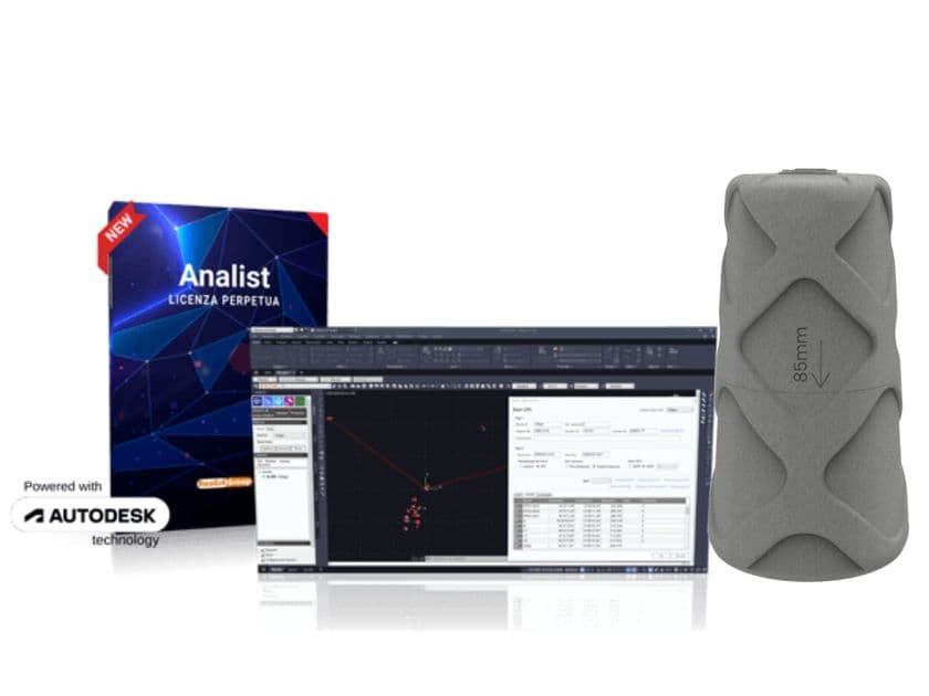
Eagle is a portable scanner with SLAM technology for large-scale smart scanning. The 3DMakerPro Eagle is a cutting-edge technology that enables real-time 3D scanning and mapping, without external reference points and with an RTK module. It is ideal for topographic, construction, archaeological, and industrial surveys, both indoors and outdoors.
Features
200,000 points per second, maintaining data quality even at speeds of 20 km/h
The scanner guarantees accurate surveys up to 140 meters away
Optical system with 48-megapixel fisheye resolution
8K images with HDR technology for intense colors and wide dynamic range
The 3DMakerPro Eagle is among the best SLAM scanners, capable of modeling entire urban areas, parks, factories, or historic buildings while walking. With 360° x 59° coverage, it is the ideal tool for those seeking complete 3D surveys even in complex environments. The 48 MP and 8K HDR images are perfect for photorealistic digital reconstructions, essential for conservation surveys or interior architecture. You can check the point cloud directly on the 3.5" screen with immediate visual feedback: essential for avoiding errors and duplication. The 3DMakerpro Eagle integrates the RTK (Real Time Kinematic) technology module, which enables centimeter-precise acquisitions. Thanks to the connection to a base station and L1/L2 satellite signals, it offers accurate point clouds, even on the move. Eagle acquires up to 200,000 points per second, making it one of the few 3D scanners capable of working even on the move (up to 20 km/h), making it ideal for dynamic surveys.
The Eagle system includes everything from point cloud cleaning to 3D modeling exportable to major formats. Dedicated software allows you to edit and refine point cloud data, with output in PLY, PNG+OBJ, and Gaussian-Splatting PLY. Quick and automatic point cloud cleaning eliminates noise and streamlines the entire workflow, improving speed and operational efficiency. Eagle has independent software for modeling the point clouds, offering complete support for surveying activities.
0
0